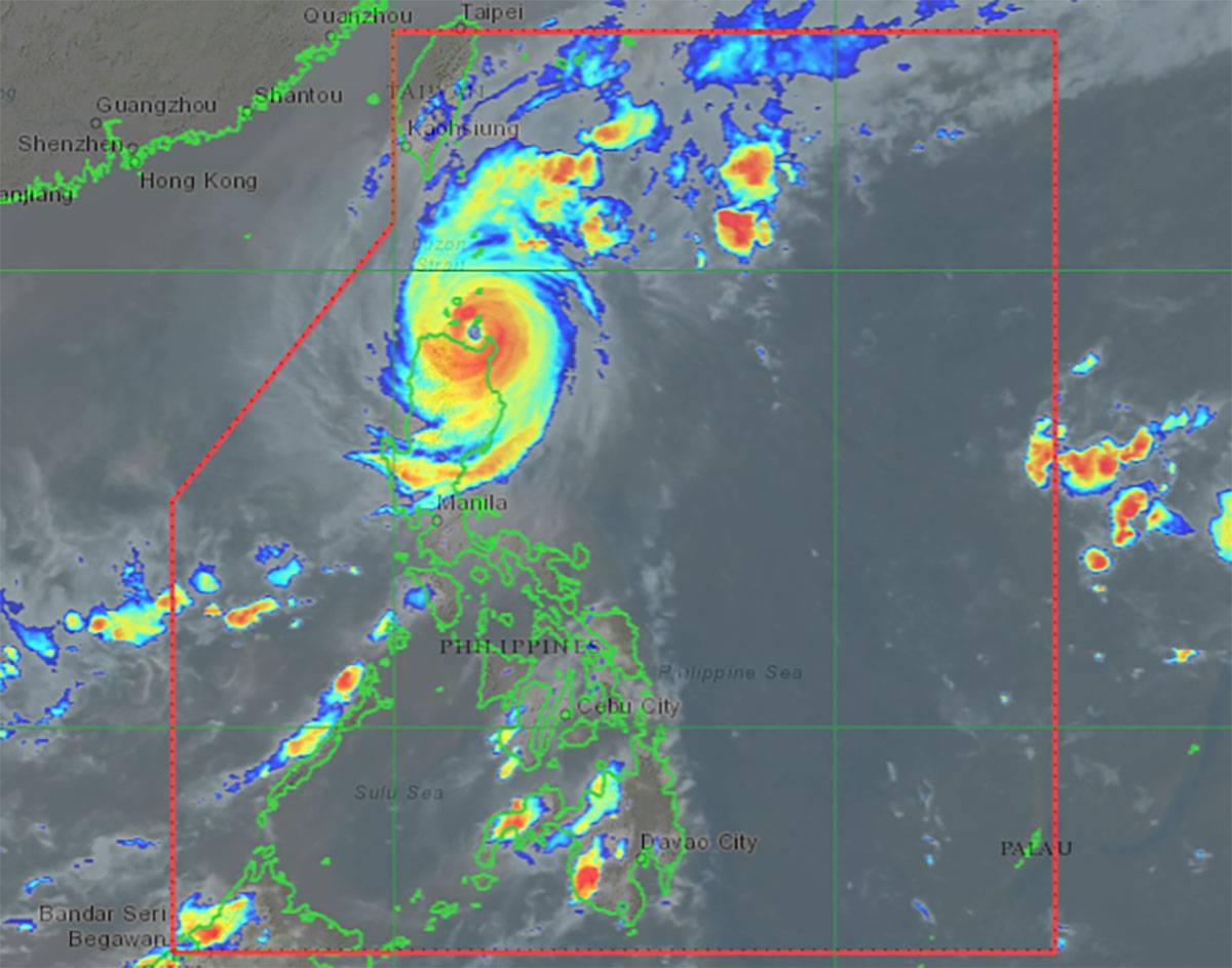
Typhoon “Marce” is getting stronger and is likely to make landfall in Sta. Ana, Cagayan, on Thursday. It could even become a super typhoon! However, it may weaken a bit as it moves over land and interacts with the terrain.
Right now, the northern part of Cagayan, including the Babuyan Islands, is facing the most danger, with high winds and heavy rain. Several areas are under different storm warning signals, and these regions could experience strong winds, flooding, and dangerous waves.
The typhoon is expected to keep moving west, bringing bad weather to more areas in Luzon, including parts of Ilocos Norte, Apayao, and Isabela. People in these areas should stay alert and take precautions to stay safe.
Marce is expected to leave the Philippines by Friday evening, but until then, it’s important to stay updated on the weather!


