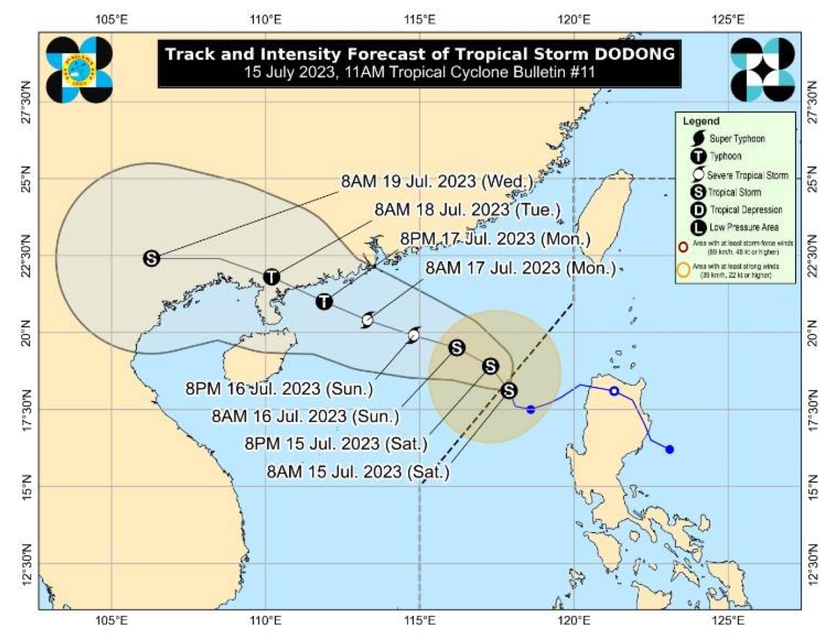
(UPDATE) TROPICAL Storm “Dodong” has maintained its strength as it leaves the Philippine Area of Responsibility (PAR), the Philippine Atmospheric Geophysical Astronomical Services Administration (Pagasa) said in its 5 p.m. bulletin on Saturday.
The state-run weather bureau said that as of 4 p.m., the center of Dodong was seen at 305 kilometers west of Sinait, Ilocos Sur with maximum sustained winds of 65 kilometers per hour near the center and gustiness of up to 80 kph.
Dodong is expected to move generally northwestward today before turning west northwestward over the West Philippine Sea for the remainder of the forecast period. It might steadily intensify and reach typhoon category on Monday.
Pagasa said Dodong would continue to enhance the southwest monsoon.
It said that a marine gale warning was still in effect over the northern and western seaboards of Luzon and Western Visayas.
delivered to your inbox
“Unless re-entry occurs, this is the final tropical cyclone bulletin. Succeeding updates will be incorporated in the 24-hour public weather forecast at 4:00 a.m. tomorrow,” Pagasa added.


